
Land Surveying


Surveying Equipment for Boundary, Topographic & Control Work
Total stations, GNSS systems, levels, data collectors, and field equipment for professional land surveying workflows. From boundary surveys and control networks to topographic mapping and construction staking, Kara provides the tools surveyors rely on every day.
Shop Surveying Equipment
Leica Zeno FLX100, Pole and Tablet Kit
Get everything you need to capture accurate, real-time field data in one streamlined solution.

Leica Zeno FLX100, Pole and Tablet Kit
- Regular price
- From $9,521.34
- Sale price
- From $9,521.34
- Regular price
-
Leica TS20 Robotic Kit
The Leica TS20 5″ R1600 Total Station Kit is built for survey professionals who demand the highest level of precision, productivity, and reliability on every job.

Leica TS20 I 5″ R1600 Robotic Promo Kit
- Regular price
- $40,950.00
- Sale price
- $40,950.00
- Regular price
-
$49,910.00
Recommended Equipment

Total Stations
Total Station Solutions for all Engineering, Construction and...

GNSS / GPS
Shop GNSS and GPS equipment for high-accuracy positioning,...

Levels & Transits
Levels and transits for precise leveling and angle...

Data Collectors
Reliable and rugged, data collectors are the backbone...

Tripods, Bipods & Pole Holders
Tripods, bipods, and pole holders for stable surveying...

Rods and Poles
Rods and poles for accurate height measurement and...

Prisms & Targets
Shop Targets and prisms for accurate measurement and...
Featured Products

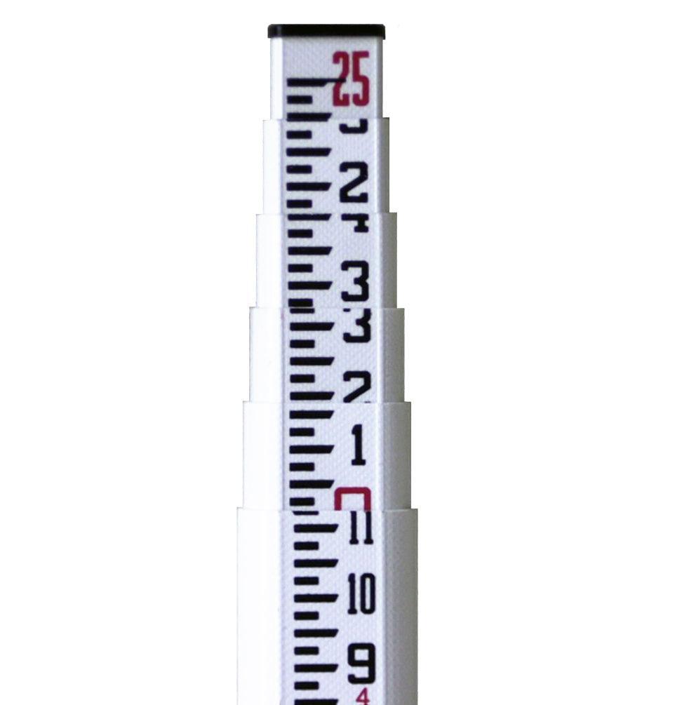
Leica GSS113 3M Metric Dual-Face Fiberglass Rod
- Regular price
- $300.00
- Sale price
- $300.00
- Regular price
-

Leica GEB461 Battery int Li-Ion 10.8V/6.7Ah
- Regular price
- $450.00
- Sale price
- $450.00
- Regular price
-

Seco Tri-Max Instrument Tripod - Standard Quick Clamp
- Regular price
- $551.84
- Sale price
- $551.84
- Regular price
-

Bogside Kara Field Book -8" x 4" - Casebound
- Regular price
- $9.24
- Sale price
- $9.24
- Regular price
-
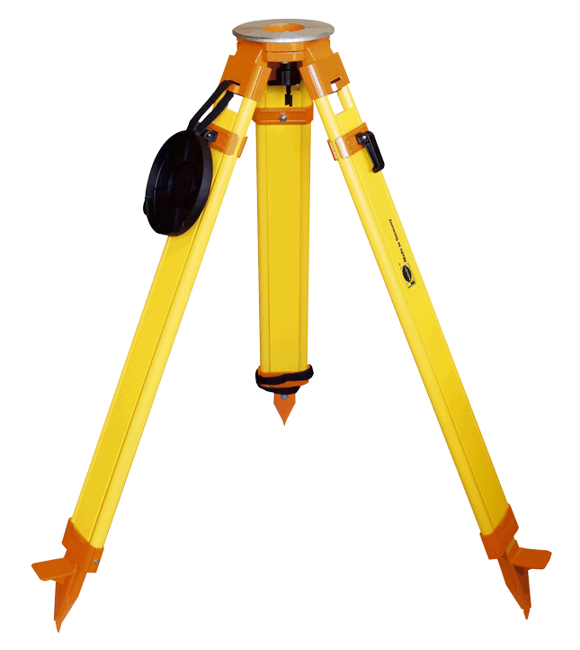
Nedo Heavy-Duty Surveyor's Grade Wooden Tripod - Quick Clamp
- Regular price
- $288.30
- Sale price
- $288.30
- Regular price
-
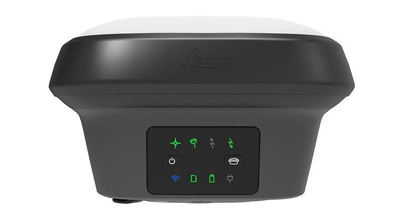
Leica GS18 GNSS RTK Rover
- Regular price
- From $15,950.00
- Sale price
- From $15,950.00
- Regular price
-
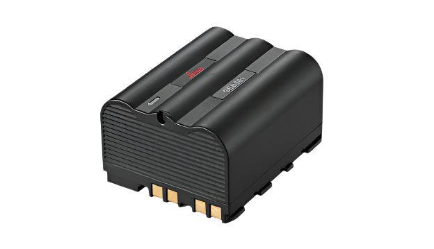
Leica GEB364 Li-Ion Battery 11.1 V; 7Ah
- Regular price
- $415.00
- Sale price
- $415.00
- Regular price
-

Leica GAT27 Multiband LTE/900mhz Antenna
- Regular price
- $159.00
- Sale price
- $159.00
- Regular price
-

Leica Zeno FLX100, Pole and Tablet Kit
- Regular price
- From $9,521.34
- Sale price
- From $9,521.34
- Regular price
-
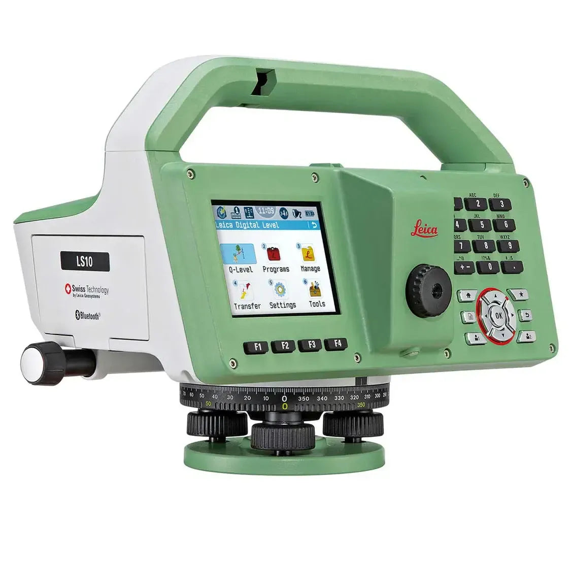
Leica Geosystems LS15 / LS10 Digital Level
- Regular price
- From $7,950.00
- Sale price
- From $7,950.00
- Regular price
-


Leica TS20 Robotic Total Station
- Regular price
- From $32,200.00
- Sale price
- From $32,200.00
- Regular price
-
Leica TS20 I 5″ R1600 Robotic Promo Kit
- Regular price
- $40,950.00
- Sale price
- $40,950.00
- Regular price
-
$49,910.00

Leica CTP104 Medium Duty Aluminum Tripod with Shoulder Strap
- Regular price
- $134.00
- Sale price
- $134.00
- Regular price
-

SitePro/SiteMax Heavy Duty Instrument Tripod -Standard Dual Clamp
- Regular price
- $245.00
- Sale price
- $245.00
- Regular price
-
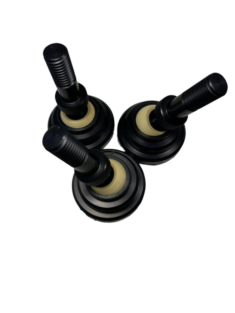
Trimax Feet Kit - Custom Paddle - 3 Pack
- Regular price
- $325.50
- Sale price
- $325.50
- Regular price
-
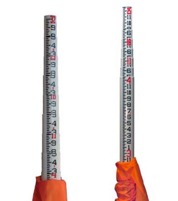
Sokkia SK25 25ft Oval Leveling Rod with Case
- Regular price
- $250.95
- Sale price
- $250.95
- Regular price
-

Keson Top-Reading Measuring Wheel 12" in 10ths & Inches
- Regular price
- $145.04
- Sale price
- $145.04
- Regular price
-

Calculated Industries DigiRoller Plus III Digital Measuring Wheel
- Regular price
- $199.46
- Sale price
- $199.46
- Regular price
-
Buying Guidance
Talk to Kara for Complete Setups
Total Station vs GNSS
Accuracy Starts with Control
Match Equipment to Environment
Land Surveying Equipment FAQs
1
What equipment is used for land surveying?
What equipment is used for land surveying?
2
When should I use GNSS instead of a total station?
When should I use GNSS instead of a total station?
3
What tools are needed for boundary surveys?
What tools are needed for boundary surveys?
4
Do accessories affect survey accuracy?
Do accessories affect survey accuracy?
5
Can Kara help recommend a full survey setup?
Can Kara help recommend a full survey setup?
Need Help Choosing Survey Equipment?
Talk to Kara about the right instruments, accessories, and workflow setup for your surveying needs.
Get Started


