
Utilities & GIS


GNSS & Data Collection Equipment for Utilities & GIS
GNSS receivers, data collectors, mapping tools, and field equipment designed for fast, accurate asset collection and geospatial data workflows. From utility mapping and inspections to GIS data capture and infrastructure management, Kara provides the tools to keep your field crews efficient and connected.
Shop GIS & Utility Equipment
Leica Zeno FLX100, Pole and Tablet Kit
Get everything you need to capture accurate, real-time field data in one streamlined solution.

Leica Zeno FLX100, Pole and Tablet Kit
- Regular price
- From $9,521.34
- Sale price
- From $9,521.34
- Regular price
-
Leica's most advanced precision utility tracing system.
Intelligent signal processing integrated with unique flexible operating modes saves time and provides increased confidence in your results.

Leica DT100 Precision Locator
- Regular price
- From $5,040.00
- Sale price
- From $5,040.00
- Regular price
-
Recommended Equipment

GNSS / GPS
Shop GNSS and GPS equipment for high-accuracy positioning,...

Data Collectors
Reliable and rugged, data collectors are the backbone...

Locators
Surveying locators detect and trace buried utilities like...

Field Gear & Tools
Field gear and supplies for surveying and construction...

Tripods, Bipods & Pole Holders
Tripods, bipods, and pole holders for stable surveying...

Rods and Poles
Rods and poles for accurate height measurement and...
Featured Products
Leica Zeno FLX100, Pole and Tablet Kit
- Regular price
- From $9,521.34
- Sale price
- From $9,521.34
- Regular price
-
SECO 6FT Snap-Lock Radio Antenna Pole
- Regular price
- $125.03
- Sale price
- $125.03
- Regular price
-

Leica Zeno FLX100 Plus Tilt-compensating Smart Antenna
- Regular price
- $5,895.00
- Sale price
- $5,895.00
- Regular price
-
ReIL-NET MAX RTK Access - Subscription
- Regular price
- From $200.00
- Sale price
- From $200.00
- Regular price
-

SECO 2m Two-Piece Rover Rod - 5128-00
- Regular price
- $408.77
- Sale price
- $408.77
- Regular price
-

SECO Quick-Release Claw Cradle for TSC3
- Regular price
- $128.93
- Sale price
- $128.93
- Regular price
-


Leica Captivate CS20 Field Controller LTE
- Regular price
- From $5,150.00
- Sale price
- From $5,150.00
- Regular price
-

SECO Prism Adapter - 5/8 x 11 Female to 1/4 x 20 Female Adapter
- Regular price
- $18.43
- Sale price
- $18.43
- Regular price
-


Leica GKL341 4-Bay Battery Charger
- Regular price
- $1,170.00
- Sale price
- $1,170.00
- Regular price
-


SECO 2.30 ft Aluminum TLV Pole – Red and White
- Regular price
- $180.57
- Sale price
- $180.57
- Regular price
-
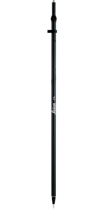
Leica GLS30 Telescoping Carbon Fiber GNSS Pole
- Regular price
- $550.00
- Sale price
- $550.00
- Regular price
-

Claw Cradle Assembly for TSC3-TSC7-Ranger7
- Regular price
- $432.42
- Sale price
- $432.42
- Regular price
-
Buying Guidance
Data is Only as Good as Your Setup
Choose the Right Level of Accuracy
Mobile Workflows Drive Efficiency
Accuracy Starts with Control
Utilities & GIS Equipment FAQs
1
What equipment is used for utility mapping?
What equipment is used for utility mapping?
2
Do I need a data collector for GIS work?
Do I need a data collector for GIS work?
3
How does GNSS improve GIS workflows?
How does GNSS improve GIS workflows?
4
What is the role of locators in utility workflows?
What is the role of locators in utility workflows?
5
Can Kara help build a complete GIS setup?
Can Kara help build a complete GIS setup?
Need Help Building a GIS or Utility Mapping Setup?
Talk to Kara about the right GNSS, data collection tools, and accessories for your field workflow.
Get Started


