


About
For trusted surveyors and measuring professionals, getting a full day´s worth of highly precise levelling measurements is not only stressful but an unusually complex and redundant job.
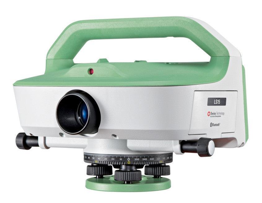
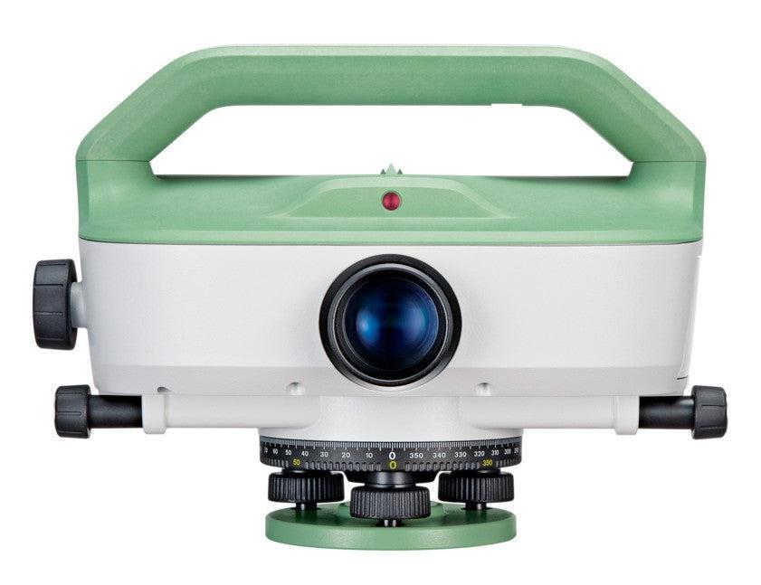
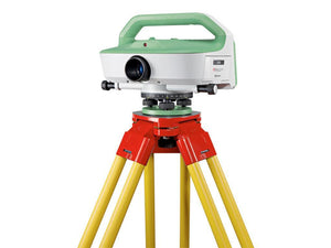
Leica LS10 and LS15 digital levels give a welcome chance to alleviate demanding levelling tasks. Automated functions and industry-leading 0.2mm accuracy allow users to easily demonstrate their measuring skills while effectively completing any project.
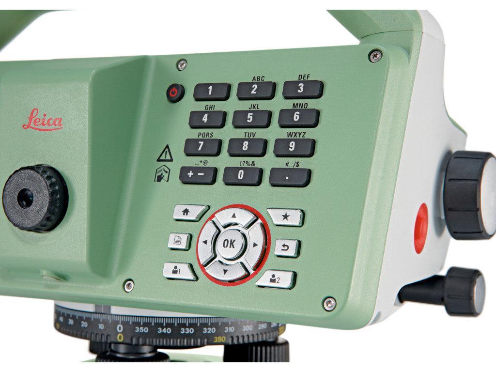
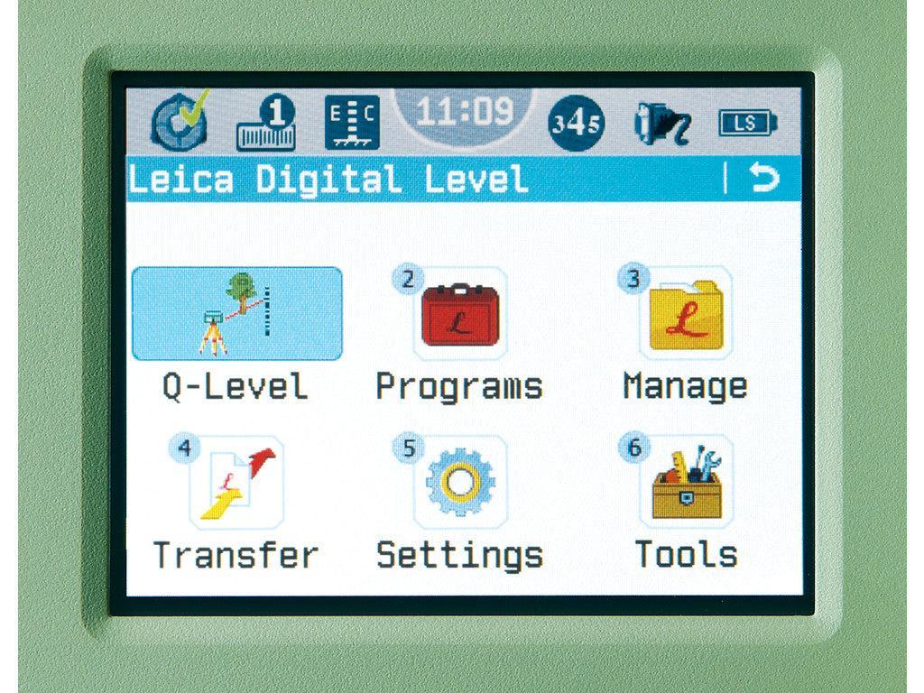
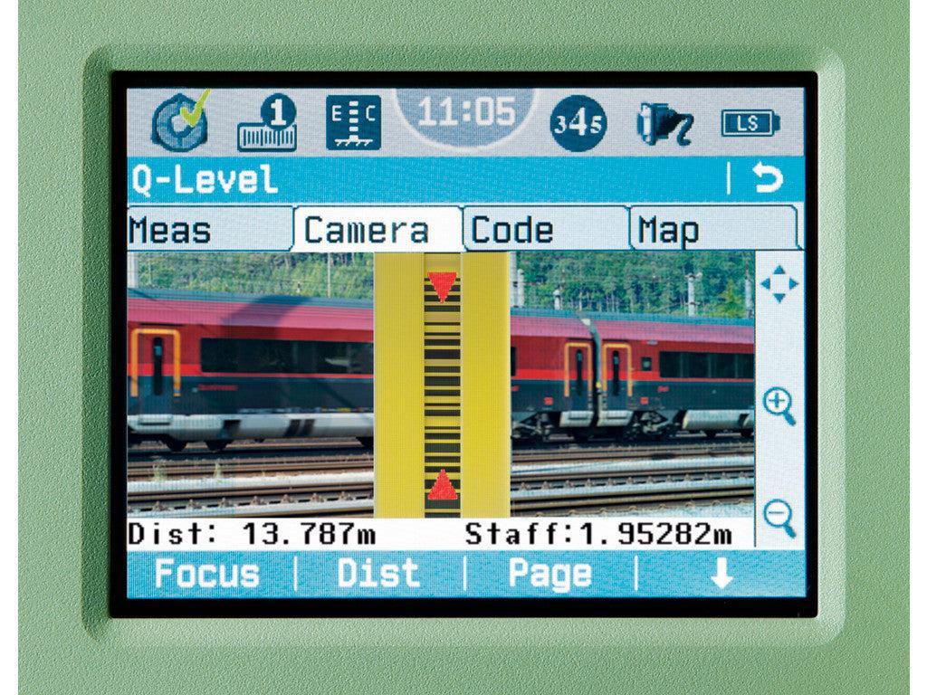
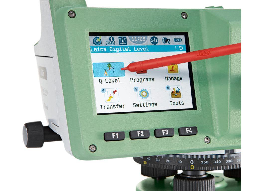
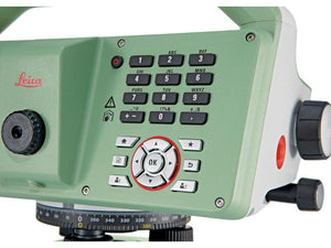
From autofocus to touchscreen displays with clean layouts, the entire measurement process is made more efficient with LS10 and LS15 digital levels. Common levelling errors, like misreading the staff or transcription mistakes, are worries of the past. Providing the most reliable results from immediately understandable line flows with image-supported color visuals, these levelling solutions make the professional´s daily tasks a more enjoyable experience.
We provide you with:
- highest accuracy
- efficiency of work
- field experience
- Leica Geosystems´ know-how
Today’s complex infrastructure requires the highest accuracy when setting out and defining reference heights. Only the most experienced measuring professionals are trusted with this demanding but often tedious task. Years of experience has led Leica Geosystems to understand what professionals need to get highly focused tasks done reliably on a daily basis. Now, a digital level has been created providing comfort and accuracy never before experienced when working on such challenging projects. Leica LS Digital Levels offer the ease of automated functions with industry-leading 0.2 mm accuracy to complete fast and reliable data collection of projects. Just point at your target and with one button press, all steps of leveling will be completed with automated ease.
Profit from Leica Geosystems’ experience as inventors and industry leaders of digital levels. With a commitment to striving forward, we have perfected this instrument to offer you an enjoyable field experience, helping to relieve human fatigue. From measuring structures, roads, railways or bridges to authoritative first-order leveling work, Leica LS digital levels add comfort to a wide range of complex leveling applications.
|
|
PRECISE HARDWARE | Automated functions and industry-leading 0.2 mm accuracy to standard Invar staffs deliver unmatched reliability. Automatic tilt checks and integrated autofocus enhance precision and speed. |
| INFINITELY BRIDGING FIELD TO OFFICE | Transfer field data easily to Leica Infinity software for intuitive processing. Combine graphics with tables, and manage level lines, calculations, and adjustments in one window. | |
 |
CUSTOMER CARE ONLY A CLICK AWAY | Active Customer Care (ACC) offers global expert support to resolve issues quickly. Tailored Customer Care Packages (CCP) help control costs and ensure peace of mind anywhere, anytime. |
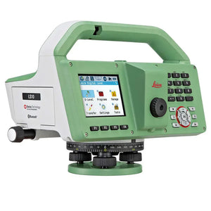
Leica Geosystems LS15 / LS10 Digital Level
- Regular price
- $9,650.00
- Sale price
- $9,650.00
- Regular price
-
This item qualifies for free shipping within the continental U.S.
