


The Leica CS50 is the field controller built for surveying with Leica Captivate. Delivering reliable performance in tough field conditions, it handles large datasets, and demanding workflows with ease. By keeping instruments, software, and cloud connected, it helps surveyors stay productive, in control, and ready for the next job.
- Integrated DISTO – measure remote or inaccessible points from the pole
- Leica-managed Linux – fast, stable, no background updates mid-job
- Dual SIM + eSIM, 5G – flexible connectivity across networks
- IP66 / IP68, MIL-STD-810H – built for tough field conditions
For those who value tactile handling in a robust package and work with average-to-large datasets, the CS50 combines performance and ease into a single core controller.
In many cases, yes. The CS50 runs Captivate 2027 and newer versions only. However, the CS50 can connect to compatible Leica Geosystems instruments running Captivate v12 or newer, allowing you to continue using your existing equipment while upgrading to the latest field controller.
When connected to instruments running older software versions, some Captivate 2027 features may not be available, as they depend on capabilities provided by both the controller and the instrument.
The Leica CS50 supports connections to a wide range of Leica Geosystems surveying instruments.
Compatible total stations and multi-stations
- Leica TS20
- Leica TS60/TM60/MS60
- Leica TS13 and TS16
- Leica TS07 and TS10
Compatible GNSS smart antennas and GNSS receivers
- Leica GS18
- Leica GS16
- Leica GS05
- Leica GS10 and GS25
Leica CS50 field controller
- Regular price
- $5,650.00
- Sale price
- $5,650.00
- Regular price
-
Delivery availability and final pricing are confirmed at checkout.
This item qualifies for free shipping within the continental U.S.

Built for the field. Connected for every job.
The Leica CS50 is the field controller built for surveying with Leica Captivate. Delivering reliable performance in tough field conditions, it handles large datasets, and demanding workflows with ease. By keeping instruments, software, and cloud connected, it helps surveyors stay productive, in control, and ready for the next job.

Designed for the field

Built for productivity

Ready for more

-
GEAR & ACCESSORIES
Complete your CS50 Setup
Unlock the full potential of your system with precision-engineered tools, cases, and power attachments tailored specifically for the CS50.
-
Leica GHT66 Holder for CS20 Controller

SKU:LE-807157
Vendor:Leica GHT66 Holder for CS20 Controller
- Regular price
- $147.00
- Sale price
- $147.00
- Regular price
-
-
Leica GS05 LTE GNSS RTK Rover

SKU:LE-949991
Vendor:Leica GS05 LTE GNSS RTK Rover
- Regular price
- From $11,550.00
- Sale price
- From $11,550.00
- Regular price
-
-
Leica AP20 AutoPole
 Kara’s Choice
SKU:LE-922838
Vendor:Leica AP20 AutoPole
- Regular price
- From $1,390.00
- Sale price
- From $1,390.00
- Regular price
-
-
Leica GLS51 & GLS51F Telescopic AutoPole
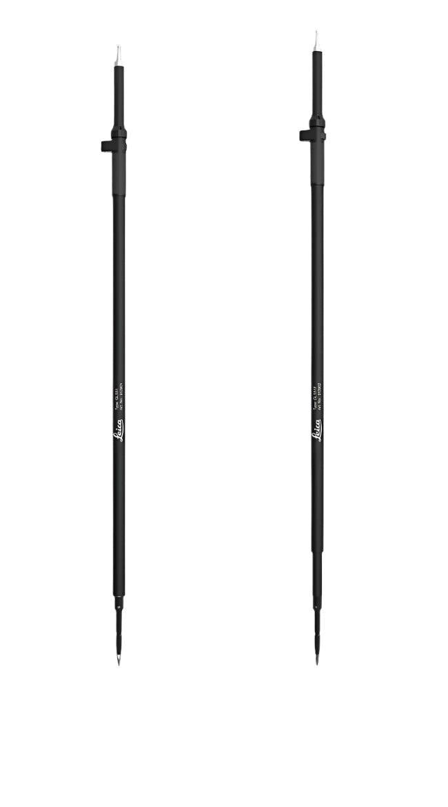
SKU:LE-913901
Vendor:Leica GLS51 & GLS51F Telescopic AutoPole
- Regular price
- $1,060.00
- Sale price
- $1,060.00
- Regular price
-
-
Leica GEB334 Li-Ion Battery – 10.8V, 3.45Ah
 Kara’s Choice
SKU:LE-954518
Vendor:Leica GEB334 Li-Ion Battery – 10.8V, 3.45Ah
- Regular price
- $290.00
- Sale price
- $290.00
- Regular price
-
-
Leica MSD1000 1GB Industrial Grade SD Memory Card

SKU:LE-767856
Vendor:Leica MSD1000 1GB Industrial Grade SD Memory Card
- Regular price
- $260.00
- Sale price
- $260.00
- Regular price
-
-
Leica MS16 USB-C 16GB Memory Stick

SKU:LE-948736
Vendor:Leica MS16 USB-C 16GB Memory Stick
- Regular price
- $210.00
- Sale price
- $210.00
- Regular price
-
-
Leica GRZ4 360 Prism
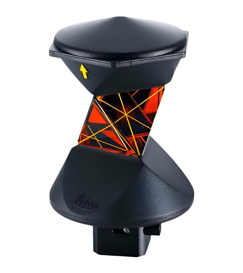
SKU:LE-639985
Vendor:Leica GRZ4 360 Prism
- Regular price
- $1,540.00
- Sale price
- $1,540.00
- Regular price
-
-
Leica GHT68 Utility Hook for CS20 Field Controller on Belt or Tripod

SKU:LE-807245
Vendor:Leica GHT68 Utility Hook for CS20 Field Controller on Belt or Tripod
- Regular price
- $37.00
- Sale price
- $37.00
- Regular price
-
-
Leica GHT63 Pole Clamp for Field Controller Holder

SKU:LE-767880
Vendor:Leica GHT63 Pole Clamp for Field Controller Holder
- Regular price
- $190.00
- Sale price
- $190.00
- Regular price
-
-
Leica TS20 Robotic Total Station
 Kara’s Choice
SKU:LE-1012235
Vendor:Leica TS20 Robotic Total Station
- Regular price
- From $33,200.00
- Sale price
- From $33,200.00
- Regular price
-
-
Leica GKL311 Battery Charger

SKU:LE-799185
Vendor:Leica GKL311 Battery Charger
- Regular price
- $330.00
- Sale price
- $330.00
- Regular price
-


CS50 FAQs
Who is the Leica CS50 designed for?
The CS50 is designed for surveyors working with Captivate, whether carrying out construction layout, engineering surveys, topographic surveys, cadastral work, or infrastructure projects. It is built for users who need a responsive, reliable field controller for demanding field conditions
What is the difference between the Leica CS50 and the Leica CS20?
The CS50 is the next-generation successor to the CS20. It combines the proven field-ready design of the CS20 with major improvements in performance, connectivity, and usability, including a faster processor, 4G and 5G RedCap connectivity, eSIM support, a secure Linux operating system, and a multi-touch display. These enhancements help surveyors work more efficiently with large datasets, CAD files, IFC models, and imagery while maintaining the ruggedness and reliability expected in demanding field conditions. The batteries used for the CS50 are the same as those for the CS20.
How long does the battery of the Leica CS50 last?
The CS50 is designed to support a full working day in the field on a single battery charge. Actual operating time may vary depending on display settings, features in use, connectivity, environmental conditions, and battery health.
What Captivate version can the Leica CS50 be used with?
The CS50 runs Captivate 2027 and newer versions only. Captivate v12 and earlier versions cannot be installed on the CS50.
Can I use the Leica CS50 with my existing Leica instrument?
In many cases, yes. The CS50 is running Captivate 2027 and newer versions only. However, the CS50 can connect to compatible Leica Geosystems instruments running Captivate v12 or newer, allowing you to continue using your existing equipment while upgrading to the latest field controller.
When connected to instruments running older software versions, some Captivate 2027 features may not be available, as they depend on capabilities provided by both the controller and the instrument.
The Leica CS50 supports connections to a wide range of Leica Geosystems surveying instruments.
Compatible total stations and multi-stations
Leica TS20
Leica TS60/TM60/MS60
Leica TS13 and TS16
Leica TS07 and TS10
Compatible GNSS smart antennas and GNSS receivers
Leica GS18
Leica GS16
Leica GS05
Leica GS10 and GS25
Can the Leica CS50 handle large datasets and 3D models?
Yes. The CS50 is designed to work smoothly with demanding survey data, including IFC models, CAD files, sensor images and large project datasets. Its powerful processor helps keep Captivate responsive, even as projects become larger and more complex.
Why does the Leica CS50 use Linux?
The CS50 runs on a Leica Geosystems-managed Linux platform designed specifically for professional surveying. This provides fast start-up, stable performance, and predictable software updates, helping surveyors avoid unexpected operating system changes that could interrupt field work.
What connectivity options does the Leica CS50 offer?
The CS50 supports two types of connectivity that help keep surveying workflows moving.
Instrument connectivity enables reliable communication with Leica total stations and GNSS receivers through Captivate, including long-range wireless connections to robotic total stations. Achievable operating distances depend on the instrument, connection method, site conditions and wireless interference. For remote operation beyond direct Bluetooth range, the CS50 also supports GeoCloud Fleet's Control, enabling a TS20 to be operated over the internet via the GeoCloud Fleet portal.
Network or data connectivity includes 4G/5G RedCap, WLAN, physical SIM and eSIM support, providing flexible options for connecting across networks, regions and project environments. These features help keep field crews connected to project data, cloud services and office teams throughout the surveying workflow.
Can the Leica CS50 be used in harsh weather and changing light conditions?
The CS50 is purpose-built for professional surveying with IP66 and IP68 providing the highest protection against water and dust, and MIL-STD-810H certification for dual ingress protection and military-grade ruggedness, meaning it can withstand harsh environments and demanding daily field use. An ambient light sensor and tactile backlit keypad can be operated while wearing gloves or in wet conditions, and make it easy to adjust changing light.
How can I get my data from field to office using the Leica CS50?
The CS50 is designed to work as part of the Captivate ecosystem, making it easy to transfer survey data between field and office. Although transferring data via a micro SD card or USB-C stick is possible, the most efficient way to transfer data to and from the CS50 is GeoCloud. With GeoCloud, you can securely share data, collaborate across teams and keep projects moving efficiently between field and office. With Infinity, you can prepare projects in the office, process measurements and maintain a connected workflow from planning through to final deliverables.
Together, CS50, Captivate, Infinity, GeoCloud, and compatible total stations and GNSS smart antennas, create one connected surveying workflow. Surveyors can prepare projects in the office, measure and perform stakeouts in the field, then transfer data, and process, verify, share, and deliver results efficiently using a field controller designed to stay responsive throughout the working day.

CS50 4G/5G: 8 GB / 128 GB
CS50 4G/5G DISTO: 8 GB / 128 GB
CS50 4G/5G: 1.173 kg (2.59 lb)
CS50 4G/5G DISTO: 1.196 kg (2.64 lb)
CS50 4G/5G and CS50 4G/5G DISTO: 5G NR Rel 17 RedCap (SA) + 4G LTE Cat 4; physical micro-SIM and eSIM
CS50 4G/5G DISTO: Yes, with integrated 1 MP camera
CS50 4G/5G and CS50 4G/5G DISTO: L1 + L5 (GPS, BeiDou, GLONASS, Galileo)
CS50 4G/5G and CS50 4G/5G DISTO: CE, KC, FCC, ISED, JATE, NAL, PSE, PTCRB, RCM, SRRC, TELEC, UKCA
Distribution: 0.5 kg CO₂e
Use stage: 1.8–21.4 kg CO₂e


